|
|
| On June
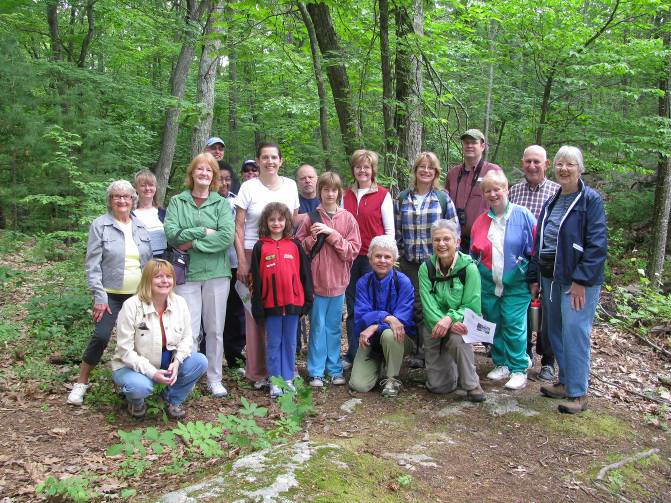
6th 2009, the first Walk with Green Marlborough at Cider
Knoll conservation land attracted 20 Marlborough
residents. The oldest was 83 years old and the youngest was 7!
Most were walking trails at Cider Knoll for the first time and most people in the group met for the
first time, too. It
was a good opportunity to enjoy Marlborough
conservation lands in the comfort of a guided group and learn
how to read the trail map. Directions
from Route 20:
By FireFlies Restaurant go onto
Concord Road
. After a couple blocks take a left onto
Stow Road
. Pass
Simpson Road
on the left and take the next right into Cider Knollís parking
lot.
|
|
|
| On July
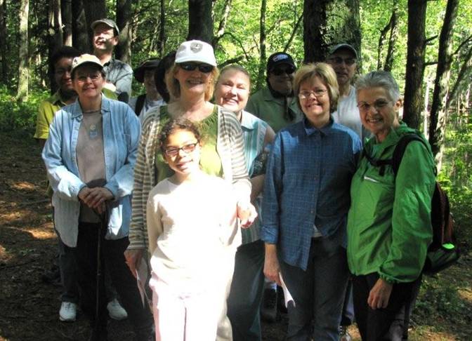
4th Rick led a walk to The
Desert, a 615-acre conservation land area named for glacial
sand deposits and a scrub pine forest, with lovely streams and a
large wooded area. Directions to The Desert From Route 20 in Marlborough, turn
onto Concord Road by Firefly's
Restaurant. Stay on this road
2.5 miles. The
parking area with a sign saying
"The Desert" is on the
right.
|
|
|
| On
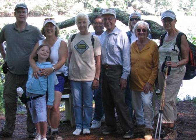
August 1st the walk was at Callahan State Park on Broad
Meadow Road which has 800 acres of quiet wooded trails and open
fields. The walk included scenic Beebe Pond and the trails
were sometimes smooth and sometimes rugged. |
|
|
| On
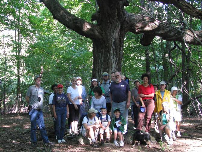
September 5th the fourth Walk with Green Marlborough
had 21 people walking to the 100-year-old maple tree on the top
of Mount
Ward. The youngest was one and a half years old and the oldest was
about 70. One person
had not been on this conservation land since he was a young boy
delivering papers to a home that is no longer there.
About half the people have walked with the group before;
some have even returned to previous trails to walk them again on
their own. The other half were new to the Saturday walk. |
 |
|
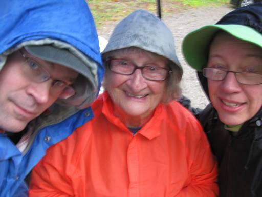
Three people
turned out for a local Green Marlborough walk at Felton
Conservation
Land
on Saturday October 3, a cold, rainy day.
While most people stayed home, Helen who is 84 looked
forward to the walk, as did Rick and Jen Boudrie and they all really
enjoyed the hike. The
rainy day hikers explored the Felton Conservation landís
one-mile trail which meanders through the grassy green fields
and autumn-colored woodlands that are very pretty in October.
While walking and talking, they discovered that Helen
knew Benton MacKaye who is best known as the Father of the Appalachian Trail
because MacKaye lived in Shirley,
MA
where Helen grew up. While most people donít know the name,
Rick, who hiked the AT 26 years ago, is very familiar with the
legendary story of MacKayís creation of the Appalachian Trail
which is a spectacular 2,175 mile trail that stretches from
Maine to Georgia. Here's a link on that. http://books.google.com/books?id=I1hayhB0DEYC&dq=Larry+ANderson+Benton+Mackaye&source=gbs_navlinks_s.
|
 |
|
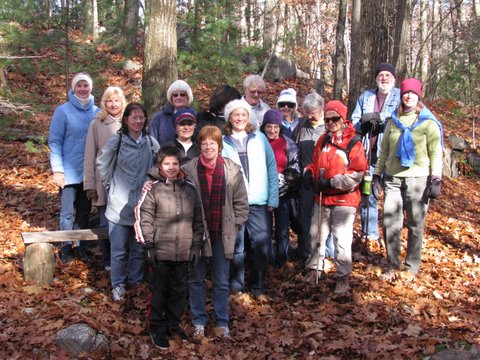
On November 7, 2009 17 Marlborough
residents walked more than 2 miles on a beautiful fall day
through the woods. Who knew that
Ghiloni
Park
and the
Marlborough
State
Forest
had such beautiful trails on 125 acres of land!
Many of the trails are unmarked but in the company of a
guide and with the assistance of a map the trails are easier to navigate. |
 |
|
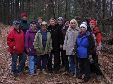
On December 5, 2009
thirteen intrepid hikers came to enjoy a walk along the Bay Circuit Trail by Sudbury Reservoir.
The trail is wide and easy to follow. It's a sociable trail as people can walk side by side and
chat. The first half of the walk was in Marlborough and the
second half was in
Southborough. This trail,
which affords a nice view of Sudbury Reservoir, is part of the Bay
Circuit Trail in eastern Massachusetts
(www.BayCircuit.org). |
 |
|
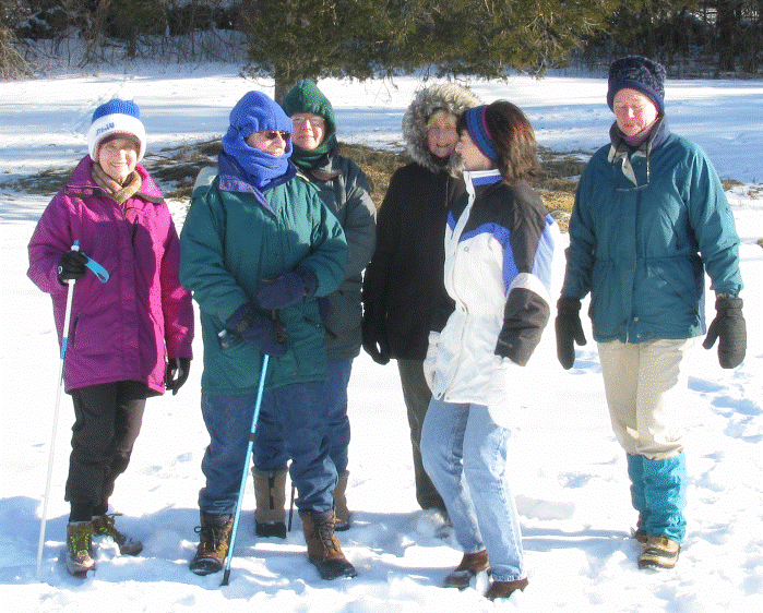
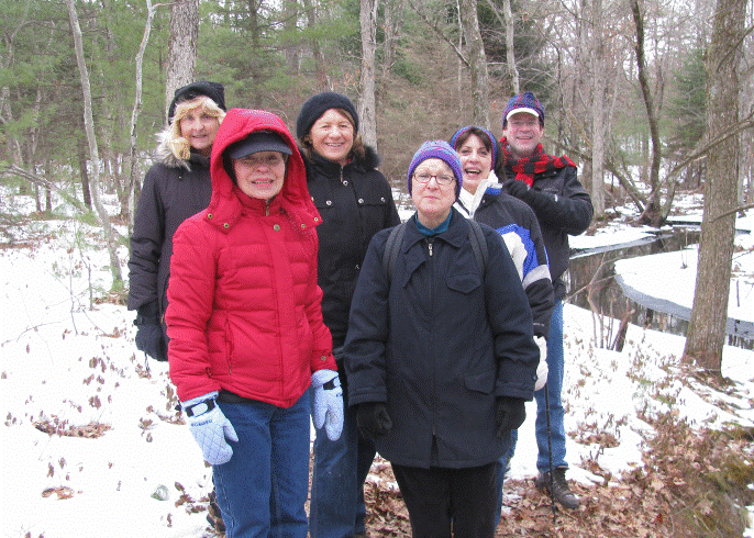
On January 9, 2010 seven people
walked the winter trails of Felton Conservation Land with
snow-covered fields and woodland paths. Afterwards they
walked the nearby Coyote Trail by the Assabet River in
Northborough; the trailhead is on Boundary Street in
Marlborough. |
 |
|
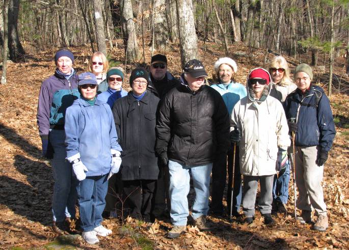
February
6, 2010 It was a cold day but walking warmed everybody on
this wonderful winter walk in The Desert. We saw
beaver footprints in the snow near the stream and heard some
winter birds singing in the woods. "The Desert"
is an unusual name for this woodlands because it looks nothing
like a desert, but perhaps the glacial sand deposits and scrub
pine forest in some areas made someone think of a desert when
this conservation land was being named! |
 |
|
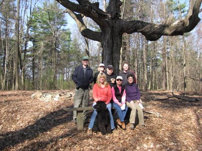
March 6, 2010. It was a
beautiful sunny day and 40degrees. We walked Cider Knoll
conservation land
- 100 acres of
conservation land with lovely
woodland trails, an open field, a
scenic pond with a beaver lodge, and a
stream. The property used to be part
of Mello Farm where some of us bought Thanksgiving turkeys
years ago. The walk was about about 2 miles & 2 hours.
Directions
to Cider Knoll from Route 20: By
FireFlies Restaurant go onto Concord Road. After a couple blocks, go left
onto Stow Road and go
one mile. Cider Knoll's parking lot is on the right. If
you pass the Mello Farmhouse you've gone too far.
|
|
|
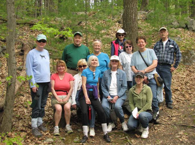
April
3, 2010 We had a good hike to the top of the hill called Mount
Ward. The group stopped for a photo under the
one-hundred-year-old maple tree at the top. Marlborough
has many nice conservation lands that people often say they
don't know about. These walks are an enjoyable way to get
to know conservation lands in a group.
|
|
|
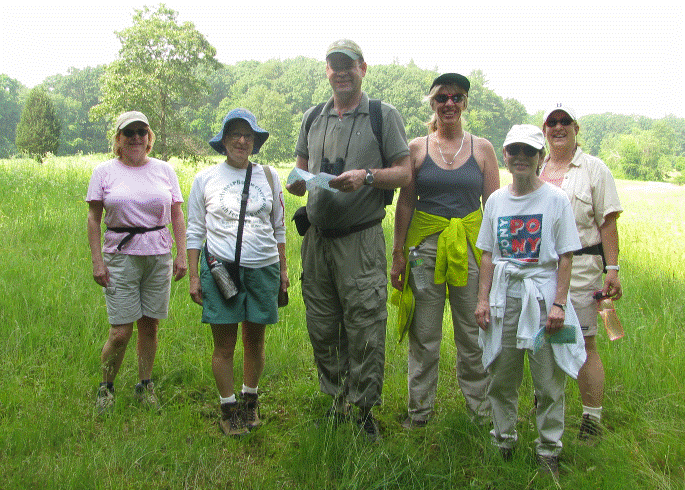
May 1, 2010 Before the Earth
Day Fair at Ghiloni Park the group met at the basketball court
to start their walk through the nearby Marlborough State
Forest which is surrounded by many neighborhoods and several
trail access points. Sixteen people went for a walk
including a family with a toddler who left a bit early.
People enjoyed walking with the group and getting a map to know
the trails better.
|
|
|
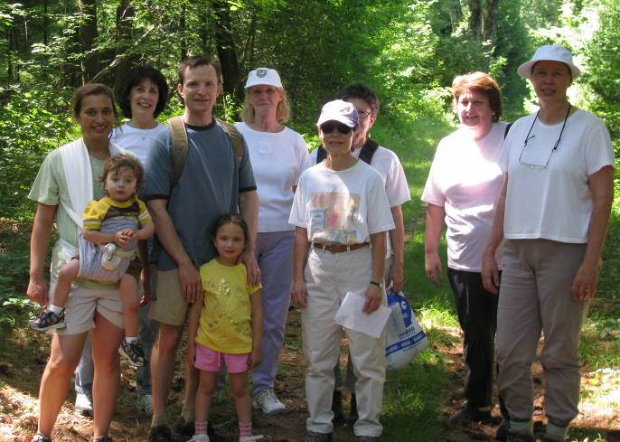
June 5, 2010 Callahan State
Park has lots to offer with wooded trails, hills, open
fields, and a pond. Seven people had a hardy hike.
|
|
|
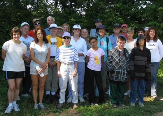
July 3, 2010 It was a great
summer hike along this tree-shaded trail. This is an easy
hike with a wide trail through the woods with a view of the
Sudbury Reservoir. This trail is part of the Bay
Circuit Trail. The parking lot is off Parmeter Road,
about 1/5 mile from Broad Meadow Road.
At this point we've had 14 hikes.
Each hike there are returning hikers and people who are
new. Hikes have been to 7 different Marlborough properties
in all seasons and usually in very good weather! So far
altogether about 75 different people have walked about 325
miles. We hear from time to time that people return to the
trails and sometimes take family and friends with them.
|
|
|
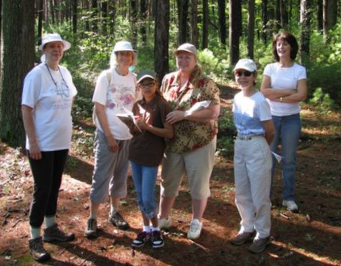
August 7, 2010 Another
excellent day for a summer Saturday morning walk! Only one
person had been on Coyote Trail before so this was a
great introductory hike. Twenty-five people walked shady
woodland trails, viewed the Assabet River water level was low!) and saw a small
farming field. This
walk technically starts on the
Marlborough/Northborough line and goes
into Northborough. It's an easy 2.4
mile walk from Boundary Street to Route 20 and back. Everyone was glad to hike the trail in
the company of a guided group and get a map of the trail. This photo
was taken on the way back after two left to explore a side trail
near their home. Directions: From Marlborough go on Route 20 to the
Northborough/Marlborough border and take a right on Boundary
Street. Take a left into the parking lot before crossing
the Assabet River bridge. For a map of this trail click on
http://www.northboroughtrails.org/MAPS/Coyote.pdf
.
17n/8o
|
|
|
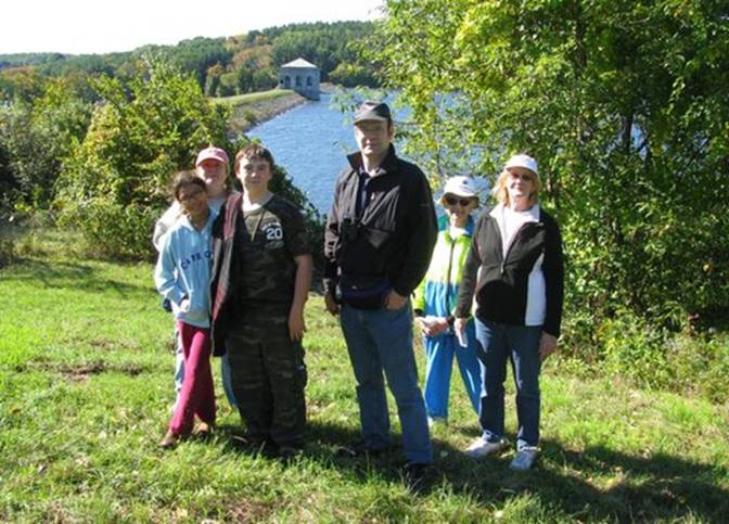
September 4, 2010 The Desert has
lovely woodland trails to explore with a pond and stream to
visit, too. It is the largest conservation land in
Marlborough. Next to the Assabet River National Wildlife
Refuge and Sudbury Valley Trustee land, it offers miles of
trails to explore. Maps come in handy when navigating the
trails.
|
|
|
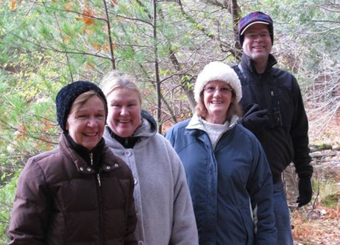
October 2, 2010 The Bay
Circuit Trail passes through Marlborough near the Sudbury
Reservoir. The trail is wide, mostly flat and easy to
follow in and out along the reservoir. This reservoir an
important urban water supply before Quabbin Reservoir was
created.
|
|
|
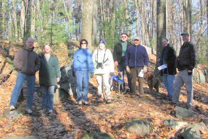
November 6, 2010 It was
a cool day but we had a good walk at Callahan State Park.
The park has open fields, forest, and a lovely pond.
Trails can offer a rugged hike for folks who want something a
bit more adventurous in Marlborough.
|
|
|
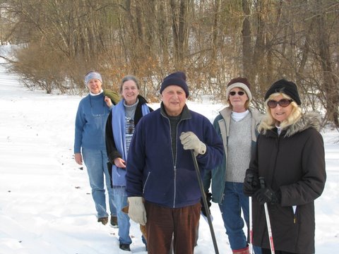
December 4, 2010 It was a cold,
clear day at Ghiloni Park and Marlborough State Forest
but we kept warm on our 3 mile walk on the woodland trails. We
saw a few birds - nuthatches, chick-a-dees, and downy
woodpeckers. Most people had not been on these trails before and
enjoyed the maps and guided walks.
|
|
|
January 1, 2011 If you're looking
for an easy walk it doesn't get much better than Felton
Conservation Land on Elm Street. Just follow the
arrows for a leisurely walk through the woodlands and from one
open field to another. Many trees are slowly being taken
over by invasive vines, but this is a still a scenic place to
visit. Animal tracks like fox were easy to see in the
snow. Evidence of cross-country skis were in the
fields. The temperature was a balmy 40ish. This
leisurely walk was good way to start the new year.
|
|
NOTE:
Safety is emphasized on our walks.
The
February and March 2011 walks were
cancelled due to deep snow and ice conditions at the parking lots and
on the trails.
|
|
|
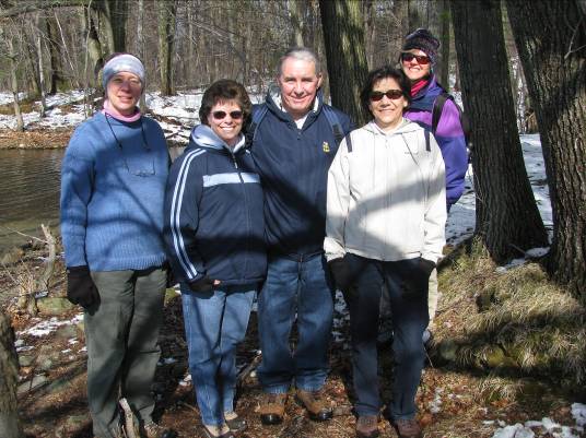
April 2, 2011 Bay Circuit Trail near Sudbury
Reservoir. It was a sunny, chilly, early spring day. Some snow was
still present on the trail but it was eminently very walkable. We saw
some deer tracks in the snow and enjoyed hearing some birds chirping, and
stopped for for a good view of the reservoir.
|
|
|
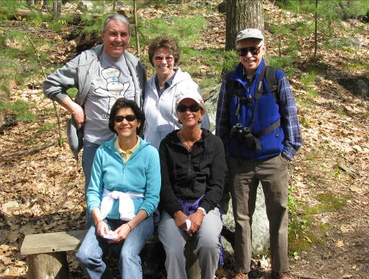
April 30, 2011 The walk date was
rescheduled to coincide with the Marlborough Earth Day Fair which was held at Ghiloni
Park. Walkers met at the basketball court and then walked to the
nearby Marlborough State Forest which has a few miles of woodland
trails. This was a cool day, but good weather for a 2-3 mile walk.
Afterwards people stopped by to enjoy exhibits at the fair.
|
|
|
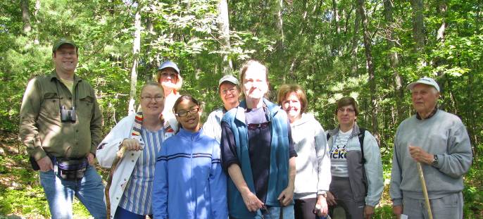
June 4, 2011 This early spring day was ideal
for nature lovers to be out and about. It was sunny and lightly breezy as
we enjoyed a walk around Cider Knoll conservation land where the terrain
is moderate. The woodland trails, rocky outcrops, steams, pond and field
provide a variety of natural habitats to enjoy. Everyone on this hike has
been with the group before but about half were visiting Cider Knoll for the
first time. Several of the walkers live within two miles of Cider Knoll. Each
hiker gets a map of the property to help them get to know the trails better.
Aside from our group, we saw only one other on the trail which is usual on
most walks.
This day marks the two year anniversary of our
walks. The group leader, Rick Boudrie, has introduced over 100 different
people to the trails and many of these people have come back to enjoy the
trails with their family and friends. Most people are residents of Marlborough
who are not familiar with the trails and enjoy hiking in the comfort of a
guided group. Group sizes have ranged from 3 to 25 and hikes have
happened in all seasons. Sunny days seem to be the most
popular but even on very cold and hot days people have come for a walk to enjoy the outdoors.
|
|
|
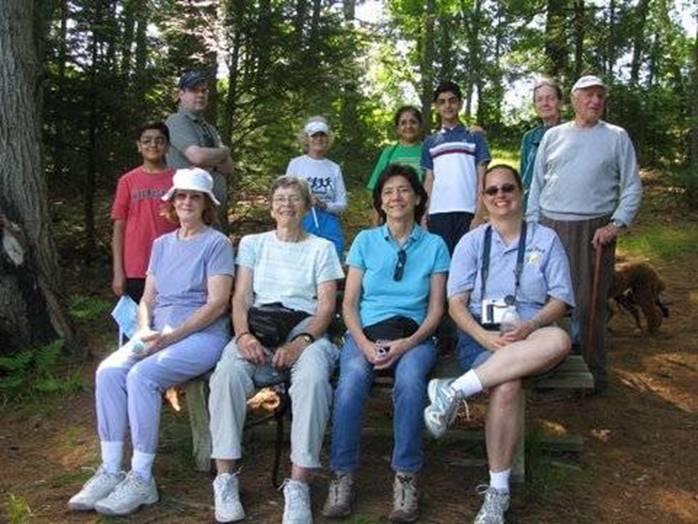
July 2, 2011 A morning walk at Callahan
State Park in the summertime can promise cool shade and fresh air.
This is a moderate hike with a hill and some rocky areas. There are many
miles of trails to hike on in the park. The loop trip we took was over
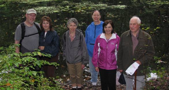
three miles. The hikers are sitting on a bench facing a pretty pond full
of yellow and white water lilies which are typical in summer.
|
|
|
August
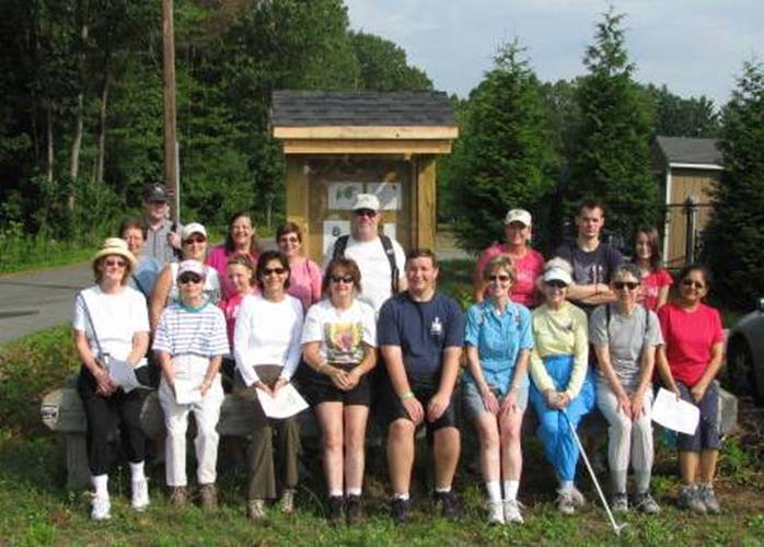
6, 2011 A recent walk celebrated
the opening of a new trailhead to Mount
Ward
conservation land off of Route 20. Twenty-one people came on the
hike. The trailhead and parking lot had been abandoned for years, but since
last October, sixteen-year-old Eagle Scout, Aidan Steadman, led the project for
the city of
Marlborough
to clear the overgrown parking lot and build the kiosk
at the trailhead.
Aidan spoke about his experience and many people congratulated him on his
achievement. He did a lot of work on the project. His family came
to share the experience and they all hiked the trail on the Green Marlborough
walk with him. Rick Boudrie, the leader of the hike, was an Eagle Scout
himself many years ago and was glad to support Aiden's effort with this walk.
Most of the hikers were exploring
Mount
Ward
for the first time and about half live in the neighborhoods near
Mount
Ward
. Some people came specifically to enjoy this hike because of the Eagle
Scout effort.
This trailhead contributes to the interconnected trail systems for
walking and biking in
Marlborough
neighborhoods. It one of the needed links to connect the larger trail
systems of Callahan State Park to Mount Ward and other conservation lands
like Cider Knoll and the Desert - a green recreation corridor for eastern
Marlborough.
The Route 20 East trailhead is now open to the public. It's located on a
short road between Nick's Roast Beef and On the Run carwash - located across
from the small plaza between Home Depot and Target. The kiosk at the
parking lot has a map and information.
|
|
|
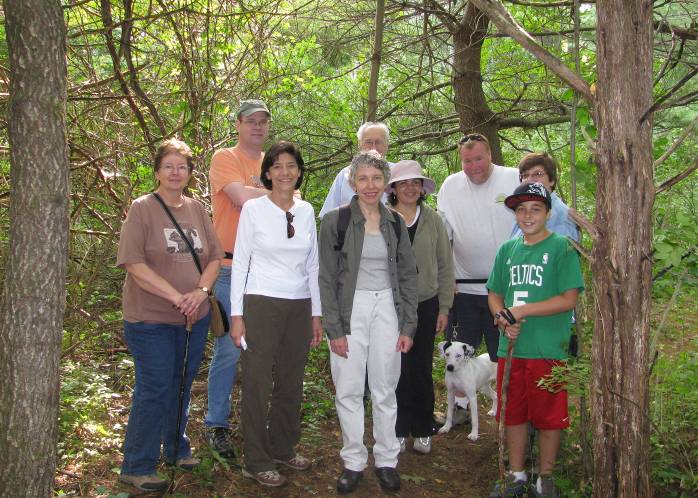
September 3, 2011 This trail system
(which we call the Coyote Trail) starts at the Marlborough/Northborough
border on Boundary Street. The trailhead is near the bridge that crosses
the Assabet River and from the trail you can get a nice view of the river
basin. The trail system is located on land owned by the town of
Northborough. On this walk trip leader Rick Boudrie read an article aloud
to the group about how Coyote Trail got its name. The story describes the
experience of founder of the Northborough Trail Committee who had an encounter with a coyote along with his grandson and his son. Ten minutes
after Rick told the story we met them all - trail founder, son and grandson -
walking down the trail. It was quite a coincidence (!) and we spent a
few minutes getting to know each other. For more information about this
trail system go to http://www.northboroughtrails.org/trailett.php
NOTE: This photo was taken with a flash which brightened up the foreground.
|
|
|
October 1st forecast a rainy day but we got lucky
and the rain held off for a good walk at The Desert conservation land on
Concord Road. Seven people hiked the trails for about 3 miles and stopped
at this pond for a photo. The Desert is the largest conservation land in
Marlborough and abutts the new Assabet National Wildlife Refuge in Stow and
other protected lands in Sudbury - altogether a significant trail system in our
region.
|
|
|
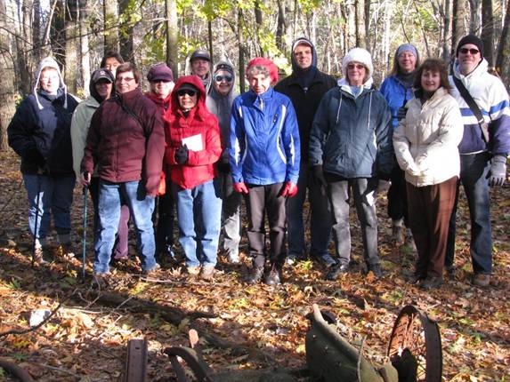
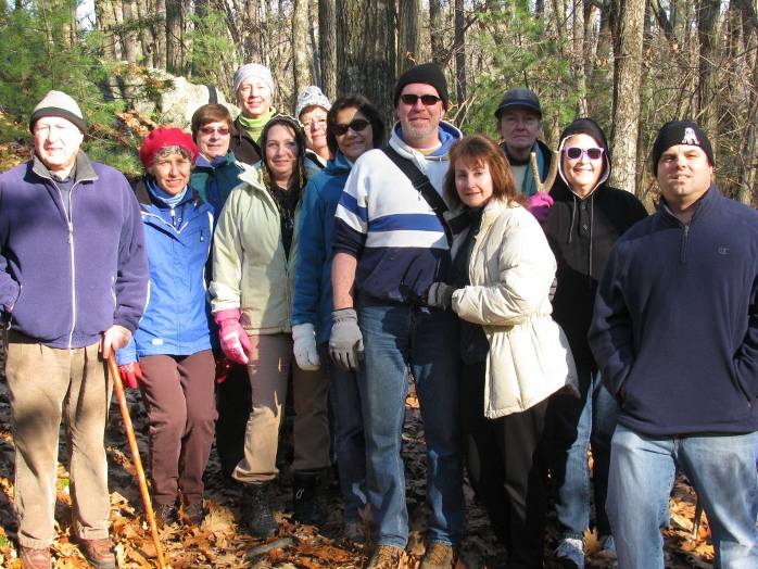
November 5, 2011 was a cold day but a good walk on
the woodland trails at Cider Knoll Conservation Land. Fifteen people
enjoyed a view of the pond and stopped at the old Model T site in the photo.
|
|
|
December 1, 2011 we enjoyed at walk at Marlborough
State Forest which is adjacent to Ghiloni Park on Concord Road. We
saw a great blue heron and a pileated woodpecker! Like on many of our
walks we have a good mix of returning and new people - thirteen people
altogether on this hike.
|
|
|
|
|
|
|
|
|